Area Maps
Pic: The South side of the Pintler range from Seymour Road
Anaconda Area Maps
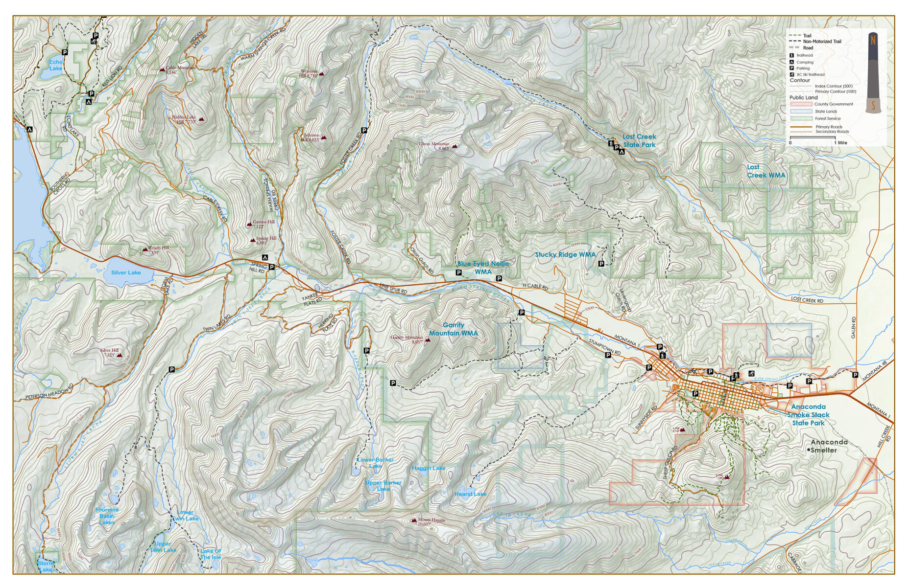
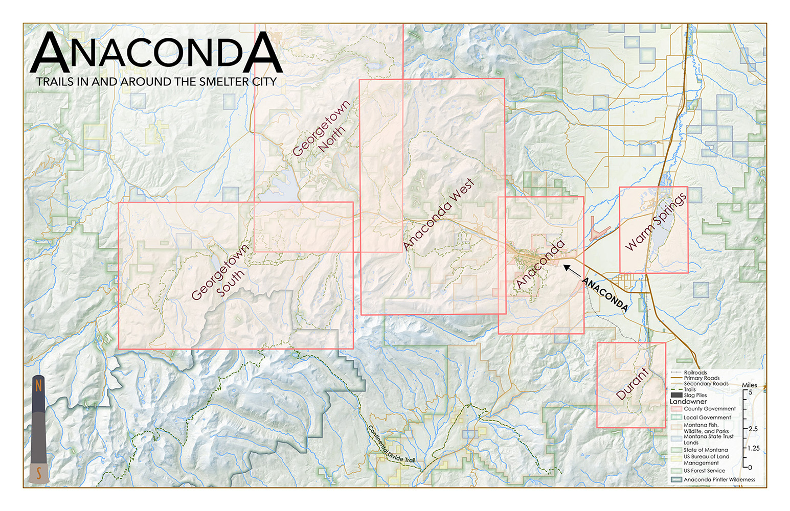
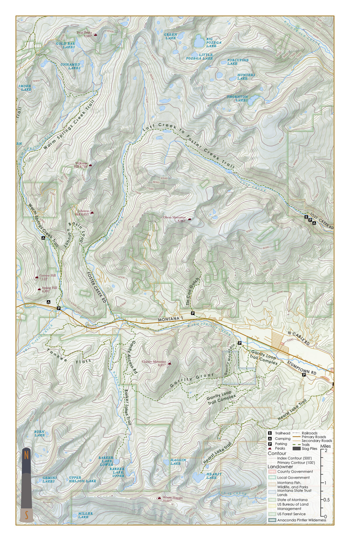
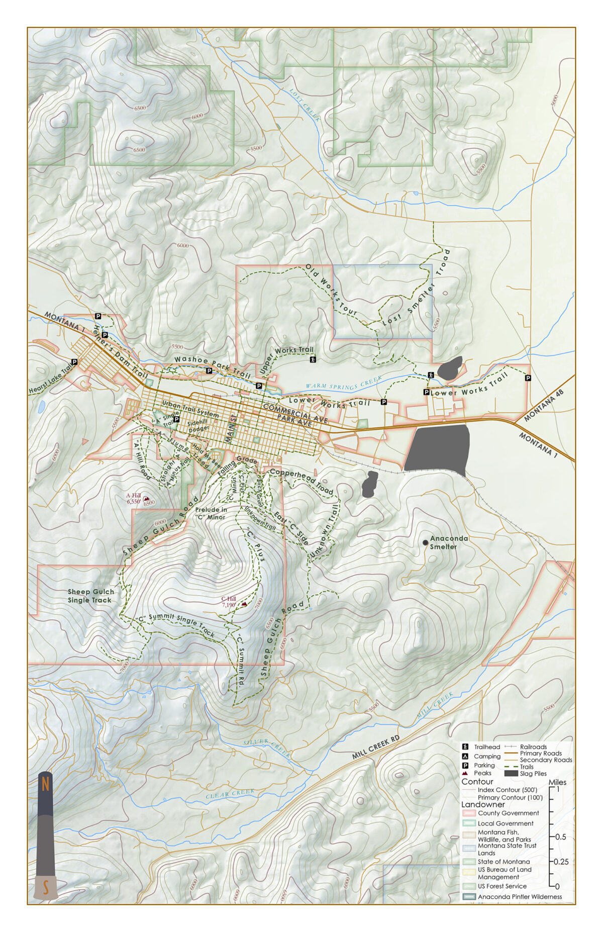
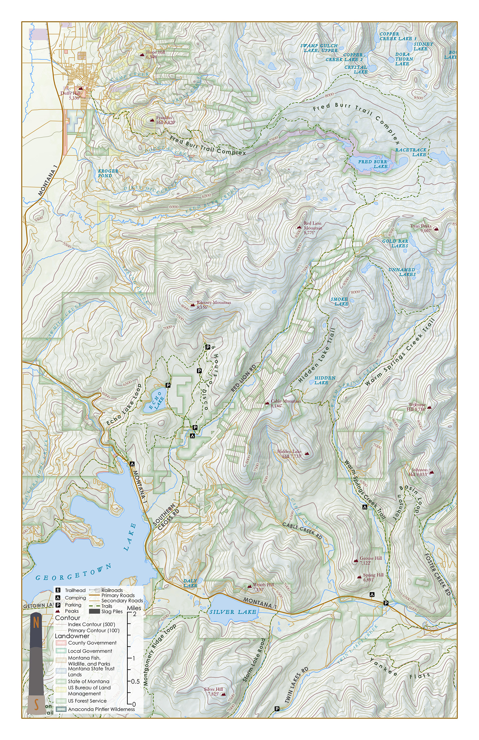
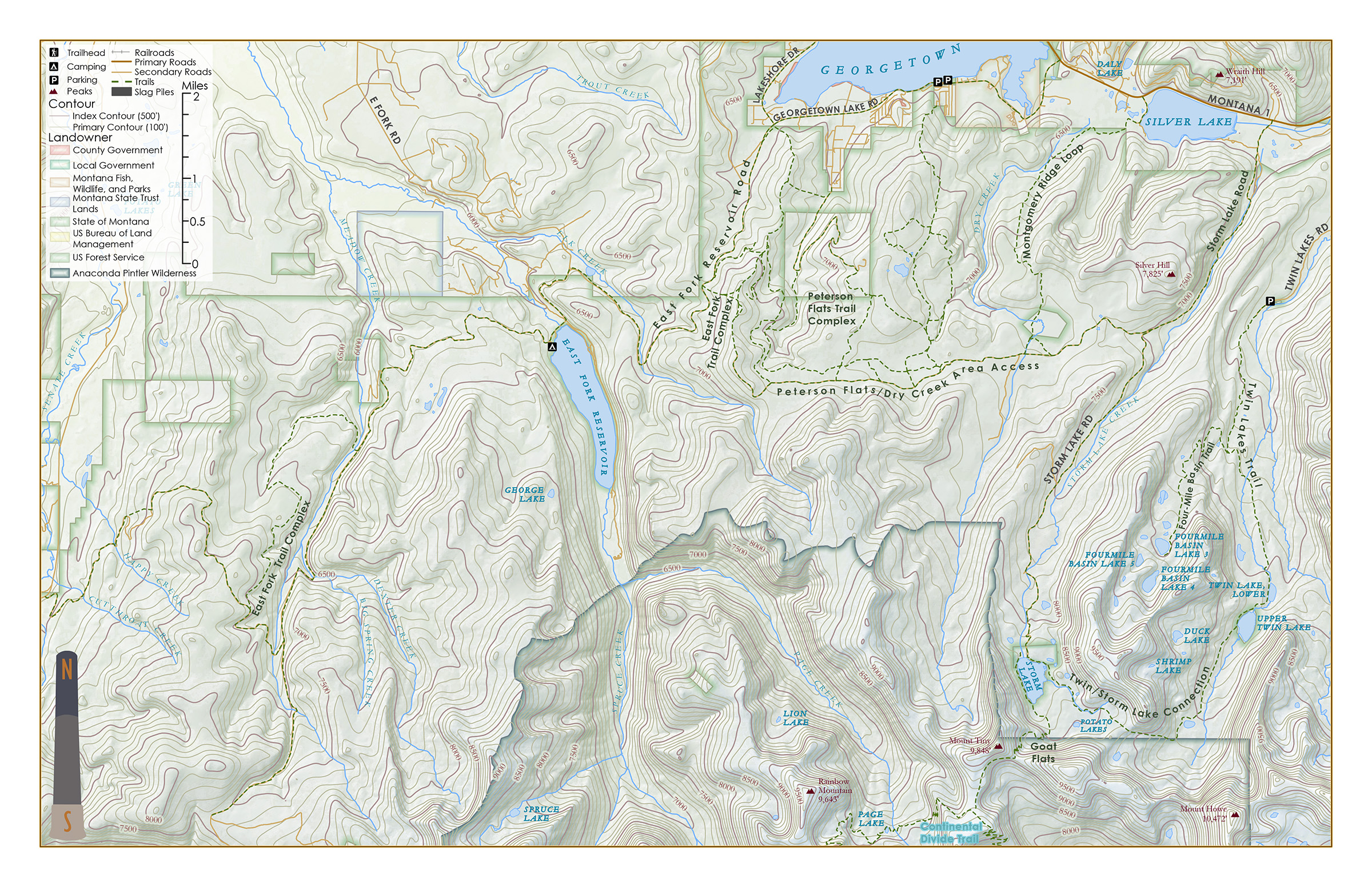
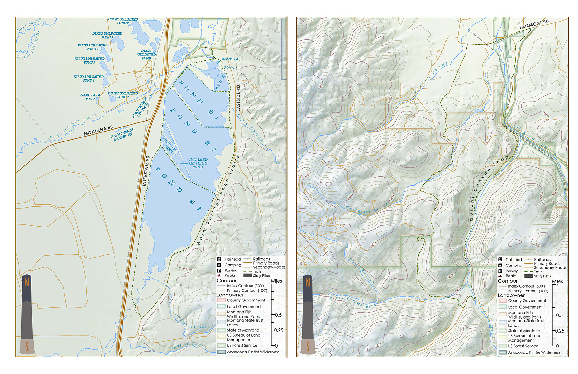
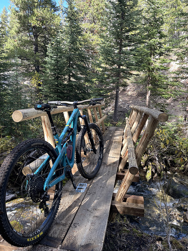
Check out some of our local maps of the area to help you decide where to take your next adventure. We have been fortunate to add some new trails over the last couple years, and refurbish some old ones too. Foster Creek has seen a nice revamp with new bridges and trail tread installed, you can connect over the divide to Lost Creek, or scramble up the headwall to the Warm Springs Connector. Just be aware the access road to the trailhead is mostly one lane and requires a vehicle with clearance, so drive in with caution. Our newest trail just outside of town starts at the Blue Eyed Nellie WMA parking lot and connects over to Tin Cup Gulch. Watch for trail work days as we still have some work to do on this connector.
The effort is worth it with views in all directions once you gain some elevation
Cut Wind Anemone Wildflowers above Georgetown Lake
Other Map Resources
Check out the links below for other resources of maps of the area, including free downloadable ones from the US Forest Service. Search for the Beaverhead-Deer Lodge North West section which will include the Pintlars and the Flint Creek Range plus the Pioneers and more. Another favorite map of the Anaconda-Pintlar Wilderness is issued by Cairn Cartographics out of Missoula and is well worth a look.
WMA Public Lands
Here in Anaconda we are lucky to be situated next to several large Wildlife Management Areas that are overseen by MT FWP. These public lands are open from May 15 – Dec 1 of every year with a purchase of a conservation license. With many old roads and trails and wide open spaces these are typically a great place to get away and explore.
Come check out all the recreational opportunities available throughout the Anaconda area
Pic: Barker Lake Hike
Become an ATS Member Today!
Sign Up Now
