Area Resources
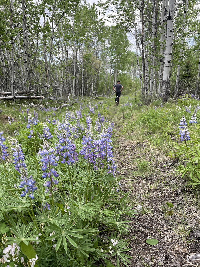
Pic: Twin Lakes / Storm Lake Connector Trail in the Pintlars
Anaconda, the Pintlars, and Beyond
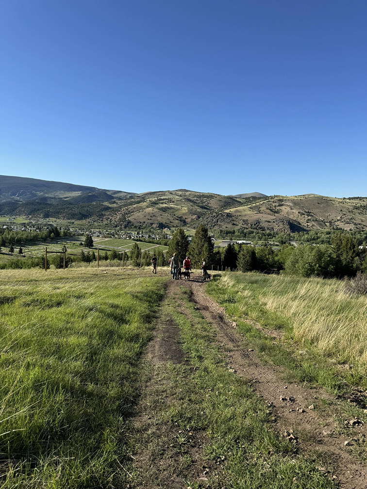
Here in Anaconda we are lucky to be surrounded by so much recreational opportunity. We have in-town paths on the north side that follow Warm Springs creek through the beautiful Washoe Park and on out to the upper and lower Old Works trails that flank either side of the golf course. On the south side of town are a network of old roads and trails that ascend “A” and “C” Hills accessible from behind the historic court house at the end of Main St. We also have access to a plethora of Wildlife Management Area lands skirting the edge of town that are open to exploration from May 15 to December 1 every year.
The town itself is sandwiched in-between the foothills of the Pintlar Mountains and the Flint Creek Range. Lost Creek state park is only 15 minutes to the north outside of town off Galen Rd, and plenty of other local forest service trails are ready to be explored in just about any direction you head where you can easily find a trail to suit your style of travel.
Local Outdoor Stores
Your Bike and Hiking Go To’s
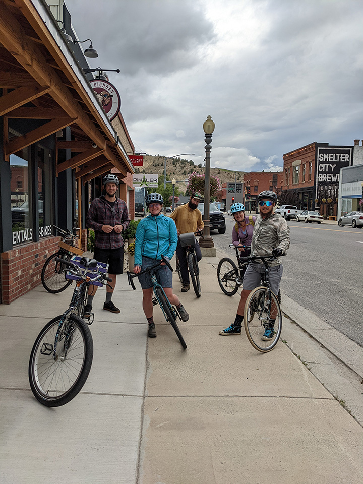
We have two bike shops and one dedicated outdoor store located within town. Anaconda Outdoors has you covered for many of your hiking or outside adventure needs. Anaconda Bicycles provides sales and services for anything bike related and offers x-country ski rentals in the winter. Sven’s Bicycles offers bike services along with ice skate rentals for the cold weather months.
Anaconda Businesses
Plenty of Places to Stay and Relax!
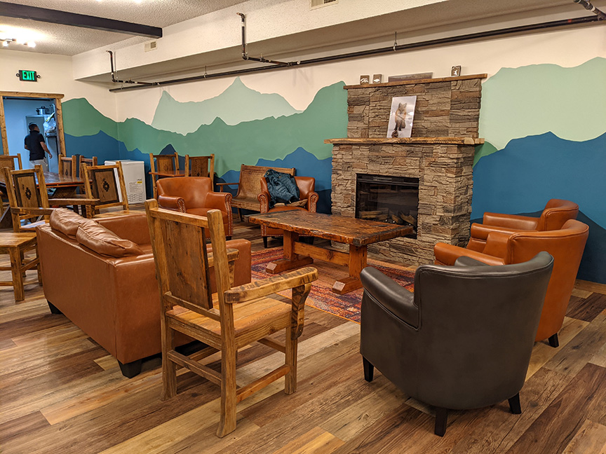
There are a variety of places to stay in town, with our favorite being Pintler’s Portal Hostel who also hosts our meetings in their comfy commons area. Check out the National Forest for places to camp around the area if that’s more your style, or head over to Lost Creek state park for more options and view the waterfall or go for a hike or a climb while there. With a brewery, a taproom, plus a wine bar on main street, and many local bars scattered acrosss town, you can find the perfect place to chill after your outdoor activity. Check out Discover Anaconda for the latest list of local drinking and eating establishments.
Trail Maps
Area Map Resource Center
Go to our Maps page to view the different maps available for our area. There is an overview map along with individual maps broken out into specific sections for a more in depth look for your recreational purposes. Another great detailed resource map to pickup from local stores is the Cairn Cartographic map of the Anaconda Pintlar Wilderness.
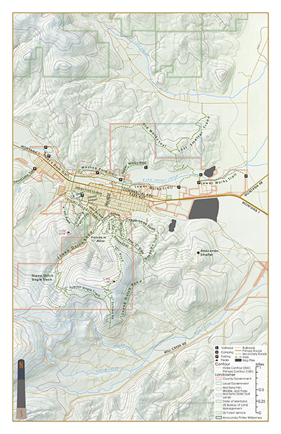
Anaconda has this great in town trail network connecting our community with Washoe Park, Warm Springs creek and so much more . . .
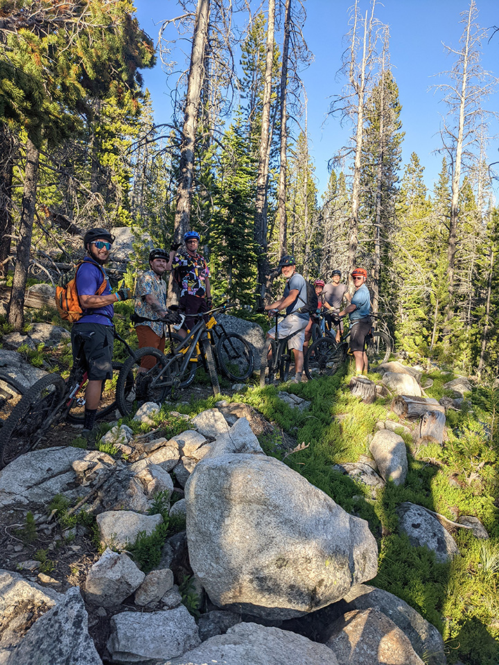
Managing and Expanding our Local Trails
Trail access doesn’t just happen on it’s own! Make sure to join the Anaconda Trail Society to support our mission of providing quality recreation opportunities for our area. The more people become involved the more work our club can tackle to support and maintain our network of trails close to home.
Consider Donating Today
Your donation is extremely important to our club as it helps us to offer more trail related projects and events to our growing community. With more resources we can start to tackle bigger and larger projects to enhance our trail connectivity and network. Your involvement can go a long way to make our area a top notch recreation destination.
Come check out all the recreational opportunities available throughout the Anaconda area
Become an ATS Member Today!
Sign Up Now
